Summary:
Press CTRL + P to print. Photos do not show when you print this page. (Help)

Here is another wonderful hike within the
Goat Rock Wilderness. The road to the
trailhead leaves a bit to be desired in
places, but for the most part, it is in
good condition and well maintained.
The hike begins with a rather gentle
climb as the trail makes its way over
a ridgeline then drops a bit below it
and follows it most of the way to Lily
Basin.
From time to time the trail is steep,
especially when it decides to change back
and forth from the south side to the north.
Most of the first four miles of this hike
is within fairly dense forest. Only
occasionally do you get to see out at
the surrounding countryside. As you gain
elevation further and further into the hike,
you will enjoy more open areas and greater
vistas.

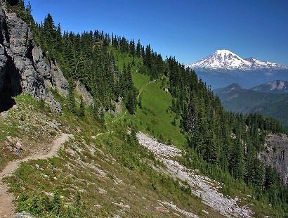
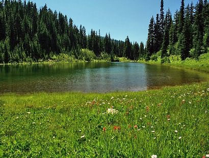
One of the main points of interest is Packwood
Lake. From about the 2.5 mile mark through
the four mile mark you will gain better and
better views of Mt. Rainier and Packwood Lake.
At about four miles, the trail again changes
over to the south side of the ridge and you
enter Lily Basin. If you get there before
August, you will most likely have to walk in
snow. Be cautious when crossing streams on
snow bridges, as the hollow underside could
collapse with your weight. It is better
to bush-wack above the crossing areas and
look for less dangerous snow.
As you continue on to the Junction with Trail #90,
you will cross over into the Johnson Creek drainage.
From the saddle you will have great views of Mt. St.
Helens to the southwest, and Mt. Rainier to the
northwest. The trail now drops a couple hundred
feet as it works its way below ragged cliffs and
on to Heart Lake.

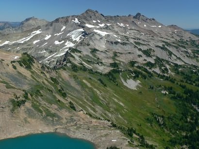
To enjoy Heart Lake up close and personal, you
will need to drop down off Trail #85 on a users
trail to the lake itself. If your goal is Hawkeye
Point, the just bushwhack your way back up to the
trail heading north up of the draw that leads to
Heart Lake. Once you regain Trail #85, just continue
on to the east.
The trail is mostly above timberline and you will
hike out in the open, and there are fine streams
from time to time to replenish you water supply.
Of course, take precautions to purify your water.
It is about 2 miles from the Heart Lake area to
the junction of Trail #85 and the well defined users
trail that takes you up Hawkeye Point. The views
just keep getting better and better as you climb.
Also, you will very likely see mountain goats in
the area from Lily Basin to Hawkeye Point. I have
seen as many as 50 on one hike through here.
|

