
...courtesy Gifford Pinchot Natl. Forest
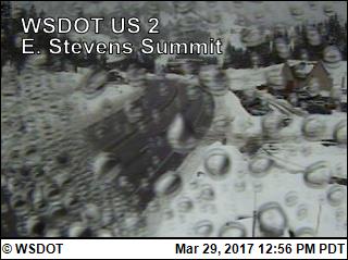
...courtesy Washington Dept. of Transportation
|
Washington and Oregon Cascades and Columbia River Gorge Weather Cameras RETURN to Previous Page |
|
|
...courtesy Gifford Pinchot Natl. Forest |
...courtesy Washington Dept. of Transportation |
 |
 |
...courtesy Washington Dept. of Transportation |
...courtesy Washington Dept. of Transportation |
 |
 |
...courtesy Oregon Dept. of Transportation |
...courtesy Skamania County Chamber of Commerce |
 |
 |
...courtesy Washington Dept. Trans. |
...courtesy USFS Air Quality |
 |
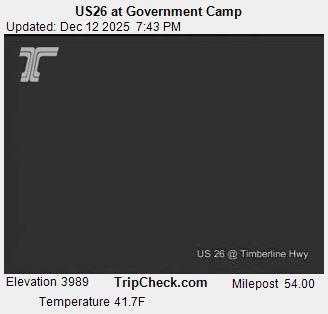 |
...courtesy Oregon Dept. of Transportation |
...courtesy Oregon Dept. of Transportation |
 |
 |
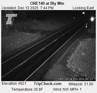
...courtesy Oregon Dept. of Transportation |
...courtesy Oregon Dept. of Transportation |
 |
 |
...courtesy University of Oregon |
...courtesy USFS Air Quality |
 |
 |
...courtesy ODOT |
...courtesy Oregon Dept. of Transportation |
 |
 |
...courtesy Oregon Dept. of Transportation |
...courtesy Oregon Dept. of Transportation |
 |
 |
...courtesy Oregon Dept. of Transportation |
...courtesy Oregon Dept. of Transportation |
|
Back to top... |
|