MOVE MOUSE OVER MAP CAMERA ICONS ( ) TO VIEW PHOTOS - F5 TO REFRESH ) TO VIEW PHOTOS - F5 TO REFRESH
A PICTURE IS WORTH A THOUSAND WORDS

TRAIL POSITIONED PHOTOS OF THE HIKE |
NOT TO BE USED FOR NAVIGATIONAL PURPOSES - ONLY FOR REFERENCE
 |
|
|
|
| Hike Length: |
4.6 miles round trip |
| Elev. Change: |
230' drop then 943' gain |
| Hike Difficulty: |
Challenging |
| Season: |
Late Spring thru Fall |
|
| Trail Condition: |
Good |
| Trail Access: |
Excellent |
| Trail Signage: |
Good |
| Features: |
Views, Wildflowers, Lakes |
|
| Useage: |
Moderate |
| Permit: |
NW FP Required |
| Horses: |
No |
| Mtn Bikes: |
No |
|
|
Summary:
Press CTRL + P to print. Photos do not show when you print this page. (Help)
A great family hike that begins at the Wahtum Lake trailhead. You can follow the trail past
the wilderness check in station down a steep set of steps, or bear to the right and follow
the more gentle, yet longer route down the couple hundred feet to the lake edge and the Pacific Crest Trail #2000.
Turn right and follow the PCT east around the lake. The hike gently climbs through a dense forest
of mostly fir and hemlock and offers very few views.
 In about a mile and a half you reach the junction of Herman Creek Trail #406. Bear left
and continue on PCT 2000. You then come to Chinidere Cutoff Trail #406M on your left that
you can take back to Wahtum Lake after you enjoy Chinidere Mountain. Just a bit further
on your right you will see the trail that leads to the summit of Chinidere Mountain.
This part of the hike is quite steep but only about .4 mile in length.
In about a mile and a half you reach the junction of Herman Creek Trail #406. Bear left
and continue on PCT 2000. You then come to Chinidere Cutoff Trail #406M on your left that
you can take back to Wahtum Lake after you enjoy Chinidere Mountain. Just a bit further
on your right you will see the trail that leads to the summit of Chinidere Mountain.
This part of the hike is quite steep but only about .4 mile in length.
During the wildflower season, I highly recommend that before you climb up to the top
of Chinidere, walk just a short distance past its trail to an open area on the PCT.
The wildflowers and views are just spectacular. Then head back to the trail that
will take you to the summit.
As you climb the fairly steep trail up Chinidere, you almost immediately break out
into the open where you will be rewarded with outstanding vistas to the south and west.
As you continue to climb this rather steep trail, you will hike in and out of dense
forest, but soon you will be climbing the ridge of Chinidere Mountain that will take
you to the summit. On a good viewing day you will see Mt. Hood and Mt. Jefferson to
the south, Tanner Butte to the west, and Mt. St. Helens, Mt. Rainier, and Mt. Adams
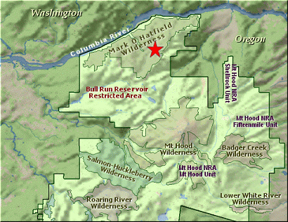
to the northeast peering over the shoulder of Tomlike Mountain (see Hike 06 ).
An alternate route back is to take the Wahtum Lake Cutoff Trail which descends dramatically
to the lake and crosses the outlet stream and reconnects with the PCT #2000. Follow the
trail back to where you first met it, and climb back uphill to the Wahtum Lake trailhead.
|
|
The following images are random samples of the wildflowers found in the Mount Hood National Forest.
Mouseover image to view flower name, and click on image to jump to flower guide.
|
Directions:
These directions take you from Hood River, Oregon.
Whatever direction from which you arrive at Hood River,
follow the sign of old US Hwy 30 into town. From the
west turn right on 13th Street and follow it up the
hill until it merges with 12th. If you are approaching
from the east, on US 30, turn left on 9th and follow it
up the hill until it merges with 12th. Either way,
follow 12th south out of town on what is called
Tucker Road or Hwy 281. About 6 miles out of town you
will cross the Hood River. Immediately after the bridge,
bear right and pass Tucker Park. In about another
six miles you need to bear to the right again following
signs to Lost Lake. This community is referred to as Dee.
As soon as you cross the railroad tracks, bear left and follow the signs to
Lost Lake. This paved road becomes Forest Road 18, and
you need to follow it about another 5 miles. Then
bear right on Forest Road 13 for another 4 miles. Again,
bear right on Forest Road 1310 Forest Road 1310 get a bit narrow in
places, especially where it is exposed to the south.
Be extremely cautious while driving this section of
the road and stay away from the cliff side.
Continue on FR1310 for about another 6 miles to the trailhead parking area
at Wahtum Lake. This is the trailhead for several hikes.
Click on the link below to see a map taking you to the trailhead.
|
|
|


