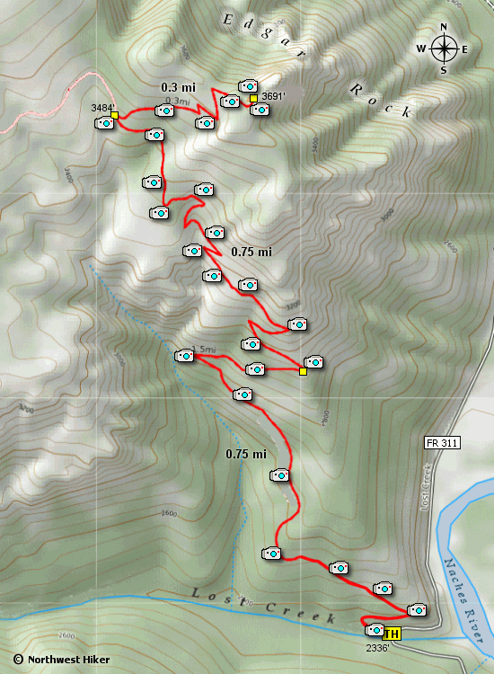
Length: 3.4 miles round trip
Elevation Change: 1335' gain
Season: Summer thru fall
Difficulty: Difficult
Permit: NW Forest Pass Required
Latitude: 46.9207
Longitude: -121.0559
Features:
This is a popular hike that is richly
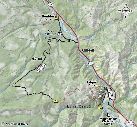
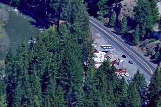
rewarded. The hike begins on FR311 as it crosses Lost Creek.
The road goes the youth camp just a bit further than the trailhead to Edgar Rock.
From the beginning, the trail climbs on a well groomed trail. Right after the first
switchback, on the uphill side of the trail, there is a bloom of the bulbous Lady Slippers
in the spring. At about three quarters of a mile, you will come to a switchback that offers a great view of the
valley to the northeast.
 As the trail continues to climb, you will be offered views of the terrain
to the west. There was a major forest fire a few years ago, and from time
to time you will walk through intensely burned areas.
As the trail continues to climb, you will be offered views of the terrain
to the west. There was a major forest fire a few years ago, and from time
to time you will walk through intensely burned areas.
A little over 1/4 mile from the summit, you will come to a trail which is
the western approach to Edgar Rock. From there the trail continues to the
summit. You will be presented with views to the northwest (Whistlin Jack
can be see below you) and to the east.

Looking west towards Haystack Rock from the Edgar Rock trail
|