|
Features:
This is another gem of a hike in the Mt. Rainier National Park.
The trailhead for this ambitious hike is located at the Sunrise Visitor
Center.
 The elevation and proximity to Mt. Rainier results in a lot of snow on the trail
even as late as mid-July. Therefore, you are likely to enjoy this adventure more
if you wait until late July or early August when the wildflowers are in full bloom.
This hike to Berkely Park takes you along the Sourdough Mountain ridge to Frozen Lake.
At the junction by the lake, follow the Wonderland Trail west. In another 0.75 miles
you will come to a junction where the Wonderland Trail turns to the left, but to go
to Berkeley Park, just keep walking forward.
The trail to Berkeley Park begins to descend repaidly after the junction and in season
it enters a floral garden. The trail crosses a couple of small streams, but skirts one
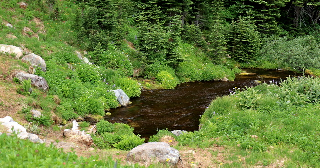
of the amazing place where a stream suddenly appears, gushing out of the ground.
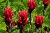
 As the trail gets closer and closer to Berkeley Park, the floral displays increase
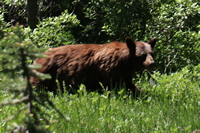
dramatically. Also, you are very likely to safely encounter bears along this
stretch of the trail. The trail wanders in and out of meadowed areas, but as
you near the Berkeley Park camp area, it is mostly forested.
 Nevertheless, this is a world class hike with many rewards. It is not unusual
to see the pika or marmot or even bears along this trail. Because of
the high elevation of this hike, only the lower portion of the trail provides
an incredible wildflower display in July and August.
After you pass the Berkeley Park Camp, the trail continues to descend for awhile,
passing through gorgeous flowered meadows in season. The trail whill then begin
to climb steeply for a short distance before descending to its lowest point.
From this point on, the trail climbs rather steeply and eventually leaves the
heavily forested area and enters large meadowed areas. When you reach the junction
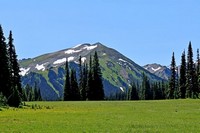
turn right and follow the trail out into Grand Park. The views from the open
meadow of Mt. Rainier and Mt. Fremont are world class.
This is a long hike and the return to Sunrise is a significant climb.

Stream comes out of the ground near Berkeley Park
|
