Length: 5.4 miles round trip
Elevation Change: 1768' gain
Season: Summer thru fall
Difficulty: Difficult
Permit: NW Forest Pass Required
Latitude: 46.6364
Longitude: -121.3021
Features:
This is a popular hike that is richly
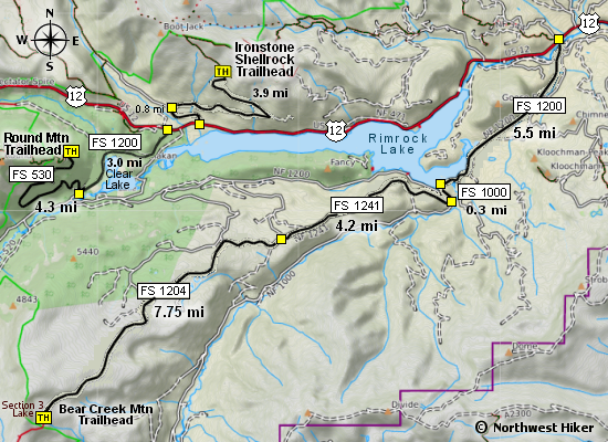
rewarded. The approach to the trailhead on FR530 offers
outstanding views of the Goat Rocks to the south. In
season, this hike has amazing floral displays.
From the trailhead, the trail climbs gently to encounter
an old unused road, which it follows for about a little
over a mile. At about a half mile, you will enter the
Goat Rocks Wilderness, which is the reason for the sign-in
at the trailhead.
Then the trail climbs more vigorously as
it works its way up Round Mountain for about three quarters
of a mile, where is approaches a cliffy area with awesome
views to the north.
The view area can be access via a user trail intersecting
the main trail at a significant switchback on fairly level
ground. Returning to the main trail, it climbs more steeply
and a little less than a half mile intersects a trail to
the Twin Peaks.
The trail gets steeper from this point on to the summit of
Round Mountain. After several switchbacks, you will come
to the top where there used to be a fire lookout. There
are a couple of user trails heading south with amazing
views of Mt. Adams and the Goat Rocks and Mt. Rainier to the west.

A view of Mt Adams peaking behind the Goat Rocks from the summit of Round Mtn
|