Summary:
Press CTRL + P to print. Photos do not show when you print this page. (Help)
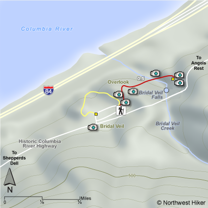
This hike drops down into the
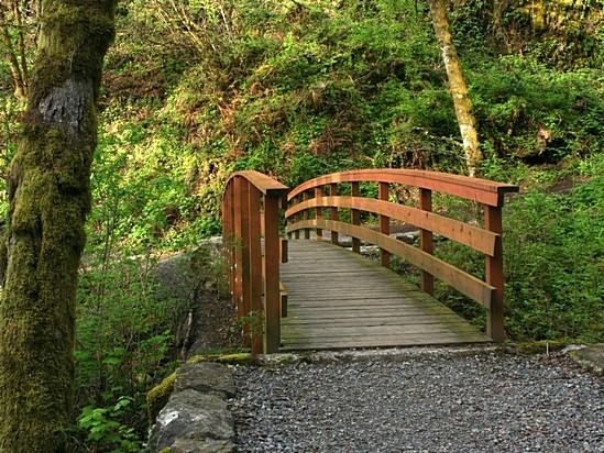
gully formed by Bridal Veil Creek, then crosses the creek on an
excellent bridge. There are a number of steps uphill to a
viewpoint opposite of the falls itself.
The Oregon State Parks website states:
The lower trail at Bridal Veil takes the visitor downhill to the
base of Bridal Veil Falls and is about a mile round trip to the
falls and back. Although short, this is a steep little trail full
of switchbacks and is not wheelchair accessible. Along the way are
a few unwanted wild plants of this area -- such as poison ivy -- so
keep on the path. Do not attempt to walk along the bridge over the
Historic Highway to view the falls. The road here is a narrow two-lane
passage with absolutely no sidewalk. PLEASE view the falls from the trail.
Beautiful Bridal Veil Falls is an elegant and graceful falls that can
be fully appreciated from the deck of a viewing platform rebuilt in 1996.
The creek hustles down from the top of nearby Larch Mountain, tumbles over
the cliff and eventually flows into the Columbia River.
The following images are random samples of the wildflowers found in the Columbia River Gorge National Scenic Area.
Mouseover image to view flower name, and click on image to jump to flower guide.