Length: 4.85 miles round trip
Elevation Change: 1034' gain
Season: Summer thru fall
Difficulty: Very Difficult
Permit: NW Forest Pass Required
Latitude: 46.7540
Longitude: -121.3616
Features:
This is a popular hike that is richly
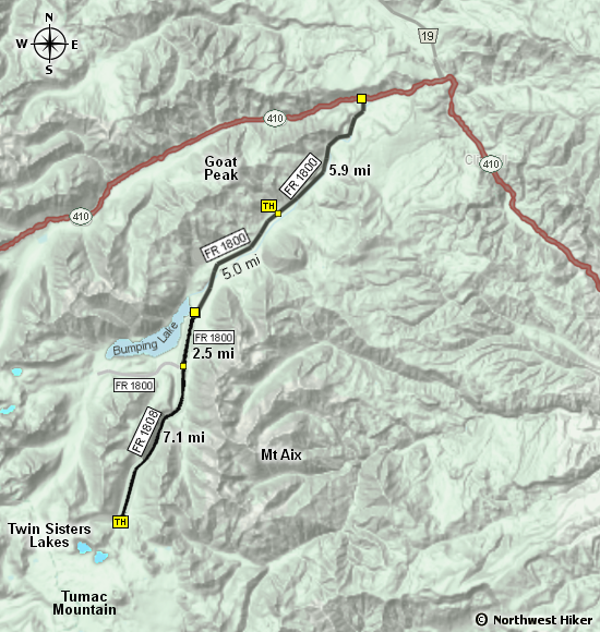
rewarded. However, getting to the trailhead
is a challenge due to the rough road.
This trail leads to several excellent adventures, such as
Tumac Mountain and the Blankenship Lakes, but I am going to
describe the hike to the Twins Sisters Lakes.
From the trailhead, the trail gently climbs south towards
the first lake. There are a couple of switchbacks, and
then the trail climbs a bit steeper.
On a clear day, you can get glimpses of the mountains
to the east, but for the most part, the trail is in a
forested area.
When you reach the first lake, the trail branches to the
left and to the right. The left trail takes you to Tumac
Mountain and/or the Blankenship Lakes. At this point to
can walk down the lake edge in any number of places.
To hike to the western Twins Sisters Lake, follow the trail
to the west. It is a little over a half mile to the next lake.
In season, there are a lot of wildflowers to enjoy.

Looking south from Twin Sisters Lake towards Tumac Mtn
|